Share This Article
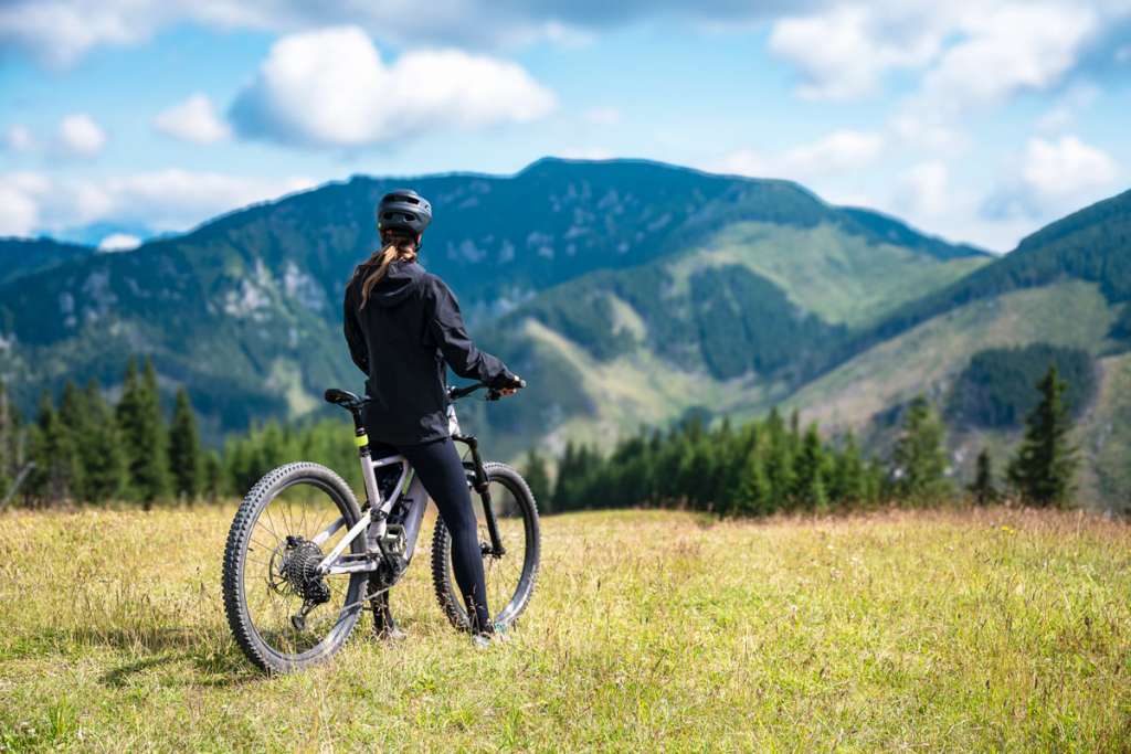
Jasná is not only a paradise for skiers and hikers, but also a hidden gem for cycling enthusiasts. In the heart of the Low Tatras lies a network of cycling routes offering unforgettable views, fresh mountain air, and challenges for every two-wheel lover. In this article, we’ll take a look at the cycling trails that make this area an ideal destination for a cycling holiday.
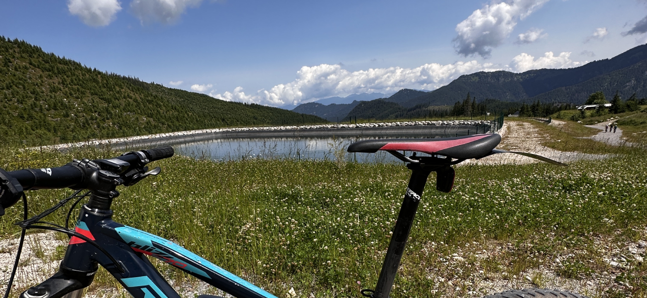
Zadné vody – Vrbické pleso (tarn) – Repiská – Lúčky – Široká dolina (valley) – Biela Púť
- Difficulty level: Moderately demanding
- Distance: 25 km
- Duration: 3:00 h
- Highlight: Vrbické pleso – the largest natural lake and glacial tarn in the Low Tatras, perfect for a short break and photos.
Route map: https://mapy.com/s/nelanedamu
This route begins with a tour of Zadné vody and views of the Dereše panorama. You’ll then continue towards Vrbické pleso and along the Zadná voda stream to the Repiská Hotel. The main road leads you back to the car park at Lúčky, where you can either turn into Široká dolina or continue through Záhradky to Biela Púť and the lake there.
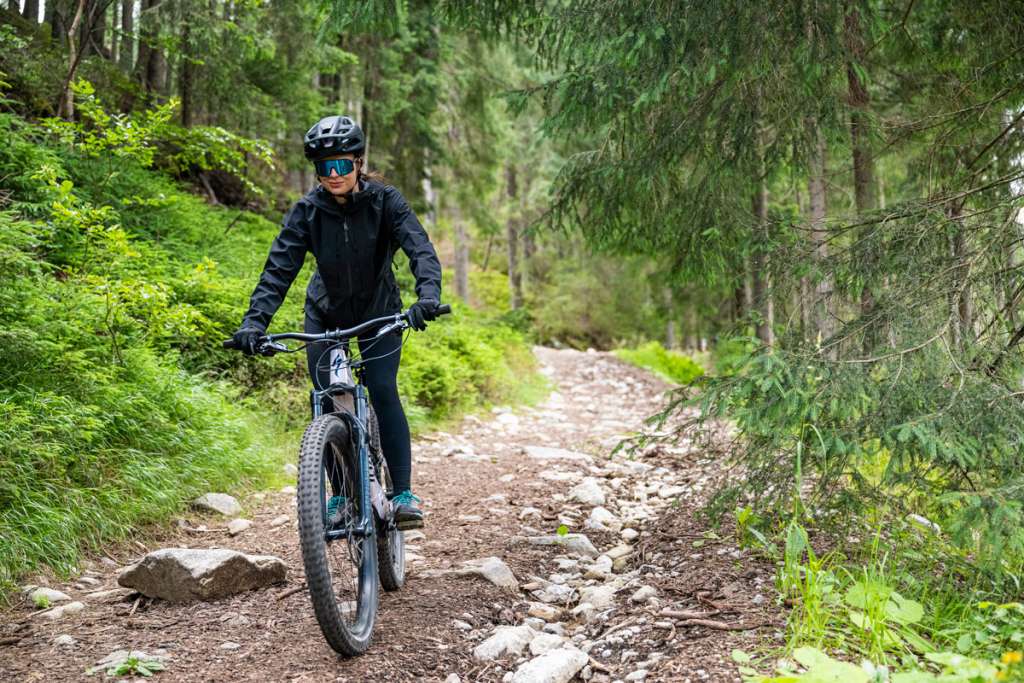
Demänovská Dolina – Demänovská Cave of Liberty – Jasná – Tri vody | 2450 blue
- Difficulty level: Moderately demanding
- Distance: 12.4 km
- Highlight: Demänovská Cave of Liberty – the most visited show cave in Slovakia, with an underground stream and beautiful lakes.
Route map: https://sk.mapy.cz/s/kolufelude
This moderately demanding route runs from Demänovská Dolina to the stunning Demänovská Cave of Liberty – one of Slovakia’s most beautiful karst caves. It continues towards the centre of Jasná, where you can enjoy views and refreshments. The route ends at Tri vody, known for the confluence of three mountain streams and its peaceful atmosphere.
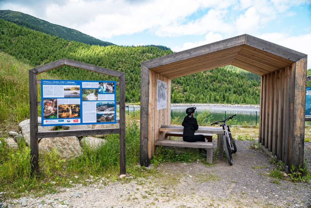
Cave of Liberty – Repiská – Tri vody | 5501 green
- Difficulty level: Moderately demanding
- Distance: 4.8 km
- Highlight: Tri vody at the end of the route is a scenic natural spot where three mountain streams meet.
Route map: https://sk.mapy.cz/s/kapebohagu
This comfortable route runs from the Demänovská Cave of Liberty to Jasná. With a gentle profile, it is suitable for leisure cyclists and families. The trail continues past the Repiská hotel complex and finishes at the lovely Tri vody spot. A great option for a shorter ride combining natural scenery, light cycling and relaxation in Demänovská dolina (valley).
Jasná centre – Rovná Hoľa – Záhradky | 5502 green
- Difficulty level: Moderately demanding
- Distance: 7.2 km
- Highlight: Rovná Hoľa (1,492 m), the highest-located point of the route, offering panoramic views of Mt Chopok, Mt Ďumbier, and the Western Tatras.
Route map: https://sk.mapy.cz/s/macuvefuco
This trail leads from the Jasná centre up to Rovná Hoľa, followed by a descent along a forest road towards Záhradky. It’s the perfect combination of climbing and technical riding. Suitable for medium-experienced cyclists, it offers both adrenaline-filled descents and gentler sections for recreational riders.
Lúčky – Podroh viewpoint – Záhradky – Lúčky | 9422 yellow
- Difficulty level: Easy
- Distance: 7 km
- Highlight: Considered one of the most beautiful trails in the Jasná resort, offering a relaxing panoramic ride without steep ascents.
Route map: https://sk.mapy.cz/s/fuvarasura
Starting in the area of Lúčky, this route leads to the Podroh viewpoint, which offers scenic views of the Jasná area. It then loops back through Záhradky to Lúčky, combining gently rolling terrain with great views.
Jasná centre – Lutonský promenade – Priehyba | N8401 yellow-black
- Difficulty level: Moderately demanding
- Distance: 2.9 km
- Highlight: Lutonský Promenade is an educational trail with interactive stops about the history of the Jasná ski resort and Alojz Lutonský, the visionary behind the first north–south Chopok cable car.
Route map: https://sk.mapy.cz/s/nagugegefe
This trail runs from the Jasná Centre to Priehyba along the Lutonský Promenade. The profile is mild to moderately demanding and suitable for families and recreational cyclists. At Priehyba, you’ll find the popular Funibar with a terrace and refreshments – a great reward after your ride.
Pavčina Lehota educational cycle trail
- Difficulty level: Easy
- Distance: 10 km
- Highlight: A wooden lookout tower on the route offers panoramic views of the Liptov region and surrounding mountain ranges – an ideal photo stop.
This trail is especially suited for families with children and leisure cyclists. It follows mostly dirt roads around the village and features information boards about the flora, fauna and history of Liptov. Stunning views of many Tatra peaks and grazing sheep herds are like a special bonus.