Share This Article
The hiking season in the High Tatras is in full swing, and the mountains are bustling with tourists. Particularly, all the tourist-accessible Tatras peaks are crowded in summer.
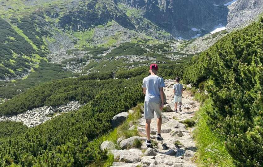
However, the Tatras are not just about the well-known peaks like Rysy, Kriváň, Slavkovský štít and others. Sometimes, you don’t need to reach the summit to enjoy spectacular scenery. The Tatras offer unique and interesting hikes also in summer. In this article, we will guide you through the beautiful valleys there.
Bielovodská dolina
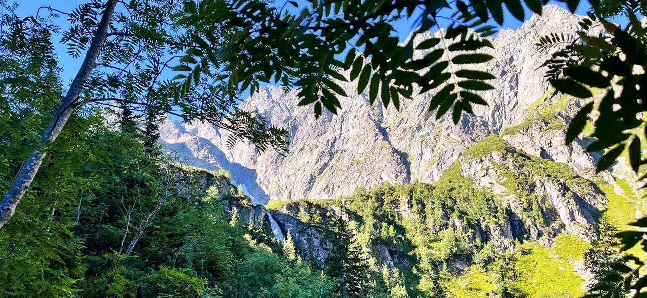
Bielovodská dolina is considered the most beautiful valley in the Tatras. At over 10 km long, it is also the longest and most extensive valley in the High Tatras. It is located in the north of the Tatras and is named after the Biela voda stream, which flows through it. Its wild, clear water enhances the alpine character of the valley.
The hike begins at the border crossing between Slovakia and Poland in the village of Lysá Poľana. From here, you can enter Bielovodská dolina and follow the blue tourist trail. The walk through the forest is very nice and you will gradually see the peaks emerging. The ascent through the valley is very gentle, becoming steeper only towards the end. It takes you out of the forest, offering a distant view of the impressive Hviezdoslav waterfall.
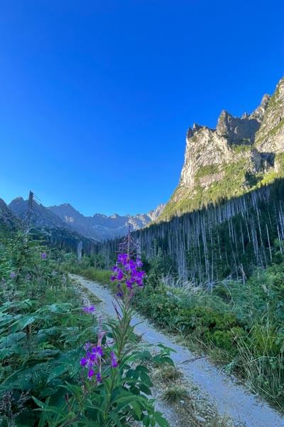
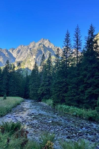
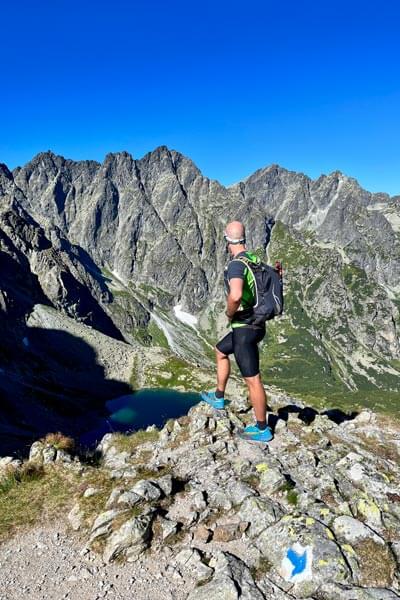
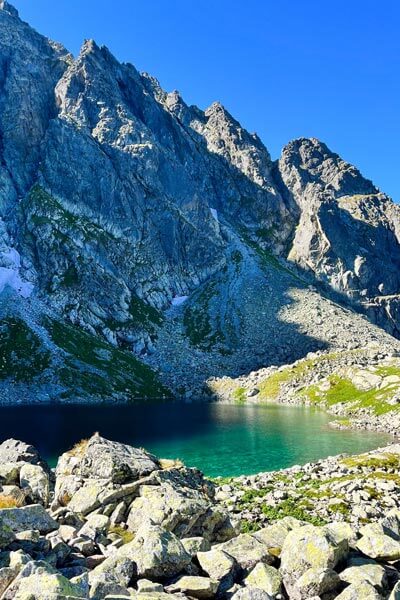
In the upper part, the valley opens up and branches into side valleys – Svišťovská, Kačacia, Ťažká and Litvorová. You can continue through Litvorová dolina to Litvorové pleso (tarn). The terrain here is more challenging, with significant altitude difference. However, it is worth the climb – you will be surrounded by majestic peaks with views of Mt Vysoká and Mt Rysy. From here, you can continue along the same trail to Zamrznuté pleso (tarn) below the Poľský hrebeň pass. But if you wish to visit a peak, it is only a short distance from this saddle to Mt Východná Vysoká.
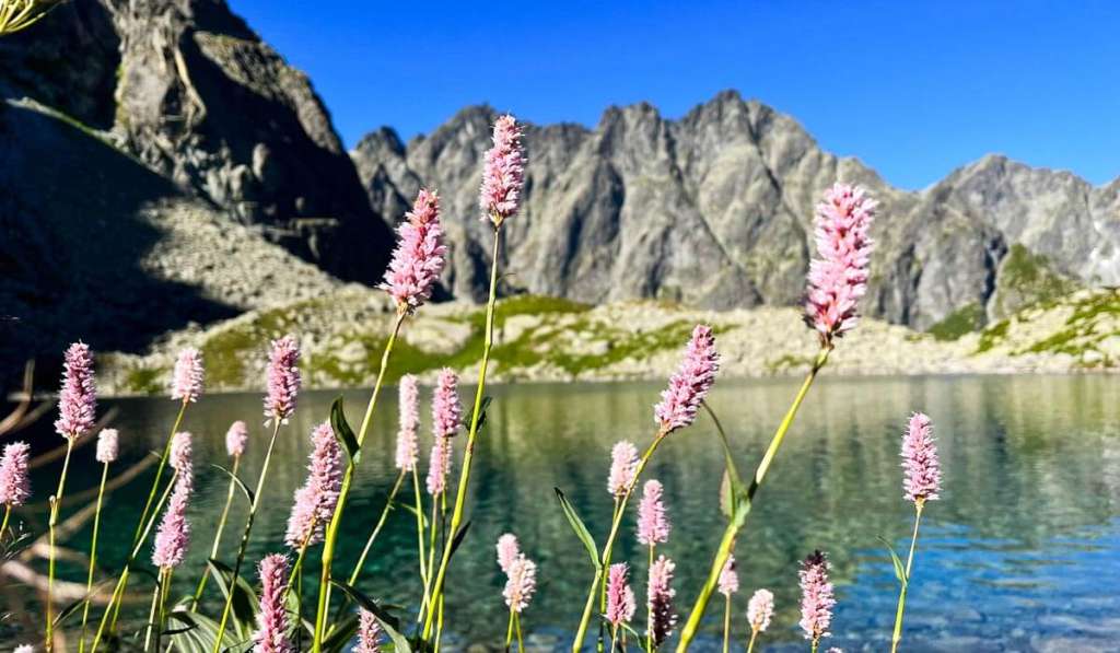
Hiking route options
- Simple hike: Bielovodská dolina – an easy but long route, 20 kilometres with an altitude difference of 350 metres, hiking time approx. 7 hours.
- More challenging hike: Through Bielovodská dolina to Litvorové pleso –
25 kilometres with an altitude difference of 900 metres, hiking time approx. 9 hours. - Challenging all-day hike: Variant with an ascent to Mt Východná Vysoká – 28
kilometres with an altitude difference of 1,500 metres, hiking time approx. 12 hours.
Javorová dolina
In the northern part of the High Tatras, there is another attractive and equally long valley. Javorová dolina is over 8 km long, and the Javorinka stream will accompany you while exploring it. The hike starts in Tatranská Javorina, where the green tourist trail begins, marking the entire valley. The first 2 kilometres are on an asphalt road, suitable for all age groups, including families with prams.
The asphalt road leads to a shelter – Pod Muráňom crossroads, where the valley branches into the Zadné Meďodoly side valley, the gateway to the Belianske Tatras. The adjacent Belianske Tatras give Javorová dolina a particular charm. The entire valley is extensive, with many side valleys, rich fauna and numerous mountain flowers.
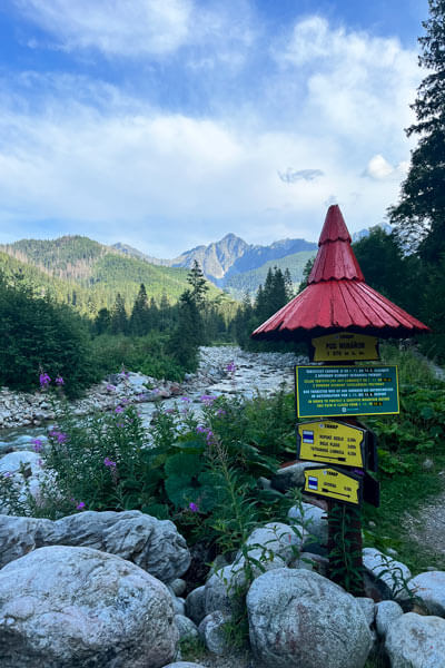
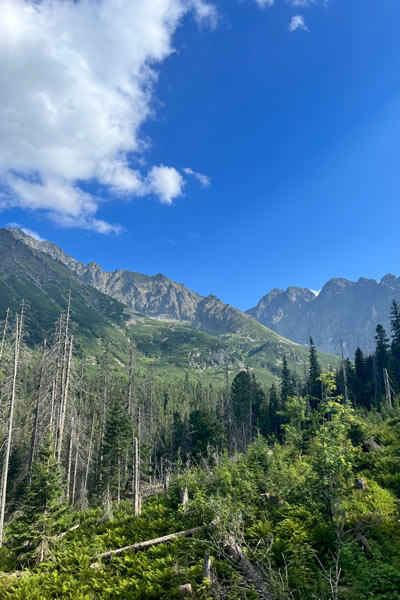
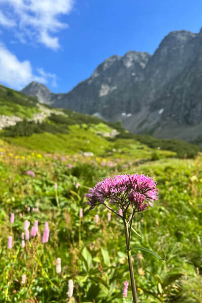
After the asphalt section, a longer stretch through a forest path follows, connecting to Zadná Javorová dolina. Here, the climb becomes steeper, and views begin to open up, allowing you to see impressive Mt Havran or Mt Žiarska vidla. Through Zadná Javorová dolina, you will reach Žabie Javorové pleso (tarn), with views of Mt Javorový štít, Mt Javorové veže and Mt Ľadový štít. The Javorinka stream also originates in this area.
From this point, the steep and challenging climb to Sedielko (mountain saddle) continues, opening views into the Malá and Veľká studená dolina (valleys). There are more ways to continue, for example, to Téry’s chalet.
Hiking route options
- Hike for families with prams: Initial part of Javorová dolina – asphalt surface, 4 kilometres with an altitude difference of 70 metres, walking time approx. 2 hours.
- More challenging hike: Through Javorová and Zadná Javorová dolina to Žabie Javorové pleso (tarn) – 20 kilometres with an altitude difference of 1,000 metres, hiking time approx. 8 hours.
- Hike with crossing to Téry’s chalet: Through Javorová dolina via Sedielko (saddle) to Téry’s chalet – 13 kilometres with an altitude difference of 1,400 metres, hiking time approx. 5 hours.
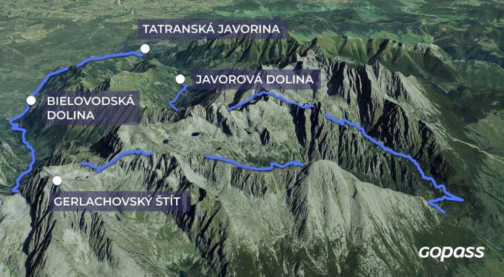
A challenging hiking loop
Map of the challenging hiking loop Bielovodská – Javorová dolina
Mlynická and Furkotská dolina
Štrbské Pleso offers great hiking and relaxation options for everyone. However, if you want to escape the hustle and bustle and have a proper workout, you will love this experiential hiking loop. Mlynická and Furkotská dolina (valleys) are separated by the Solisko ridge, and the hike through these two valleys can be combined with crossing via the Bystrá lávka saddle. Plan a whole day for this hike and prepare for a technically demanding section through Bystrá lávka. You will encounter chains and steep cliffs there.
The route starts and ends at Štrbské Pleso, and you can choose any direction for your hike. We opted for Mlynická dolina first, followed by Furkotská dolina. We have documented this trip in detail in an article and a video at MTBIKER. The entire loop follows the yellow tourist trail, with the final section on the red-marked arterial hiking trail.
Natural attractions on the hiking route
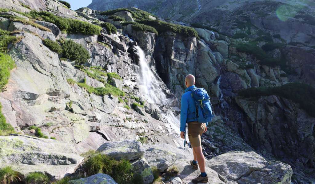
Already at the beginning, you can look forward to the easily accessible Skok waterfall and a tarn above it. With a height of 25 metres, Skok is the fourth-highest waterfall in the High Tatras, but its magnitude rivals others. If you are looking for an easy hike from Štrbské Pleso, take this short trip to the waterfall and the tarn and return the same way.
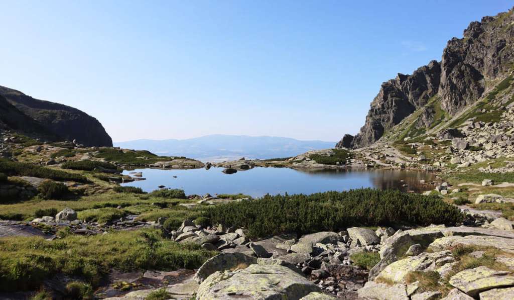
From Pleso nad Skokom (tarn above the waterfall), a series of other larger and smaller tarns await you, scattered throughout Mlynická dolina (valley). You will pass some with animal names – Volie (ox), Kozie (goat), Capie (billy goat) and Okrúhle (round). These tarns create an incredible atmosphere with views of the surrounding peaks.
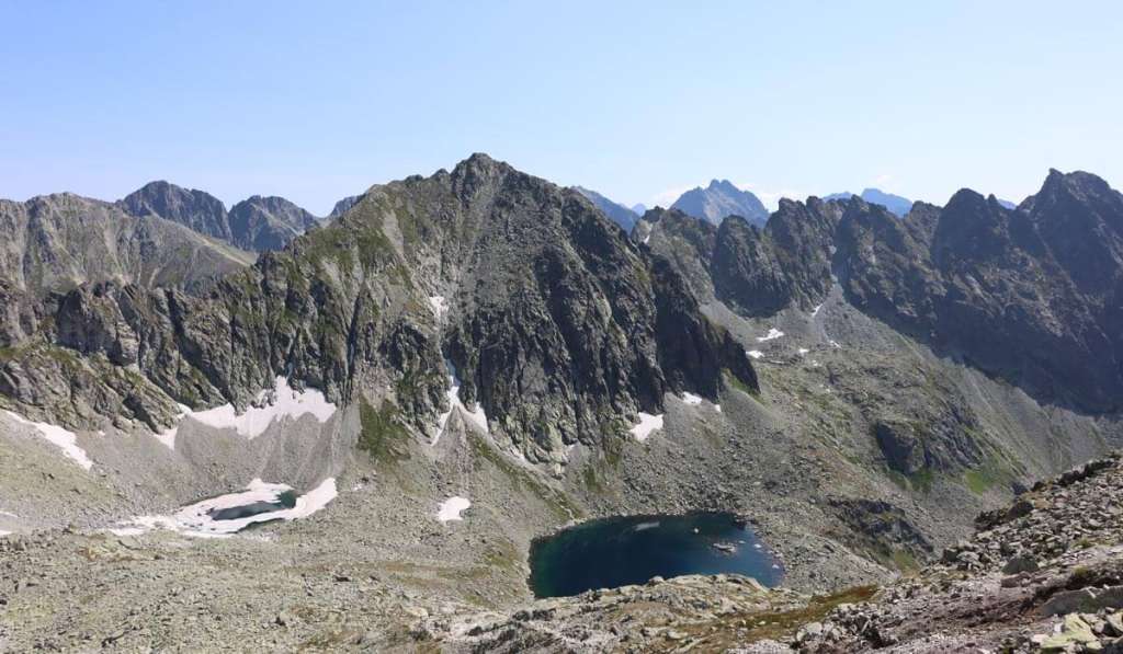
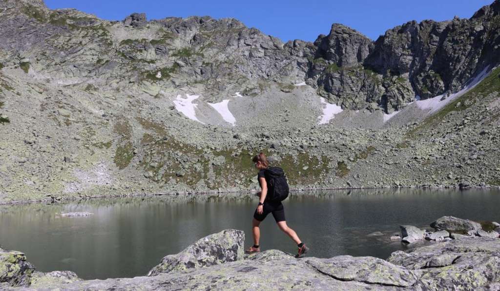
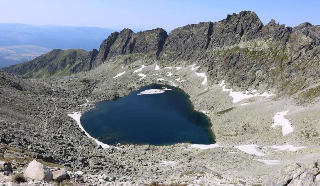
At the end of the valley, you need to cross the Bystrá lávka saddle with climbing chains, which takes you from Mlynická to Furkotská dolina (valleys). Suddenly, another tarn appears before you – Vyšné Wahlenbergovo pleso, and after a short while, you will also see Soliskové pleso and Nižné Wahlenbergovo pleso (tarns). In addition to the “new” unspoiled views, there are two more tarns at the end of the valley – Furkotské plesá. You will certainly not be bored on this route, and especially lake lovers will enjoy it.
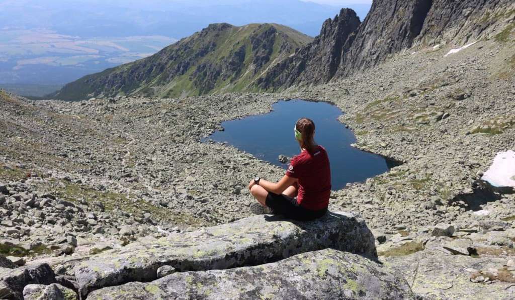
Hiking loop from Štrbské Pleso: all-day hike, 15 kilometres with an altitude difference of 1,000 metres, hiking time approx. 6 hours.
This article has been created in cooperation with MTHIKER.sk, where you can find more interesting suggestions for trips not only in the High Tatras.


