Share This Article
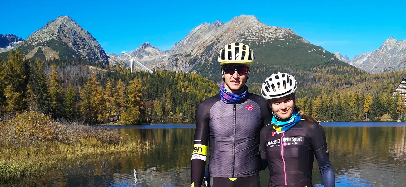
Štrbské Pleso, with its scenic walk around the tarn and popular hiking destinations like Mt Rysy or Mt Kôprovský štít, is a favourite among tourists. In the nearby and surrounding areas, you’ll find lovely cycling routes to explore the area on two wheels. Let’s take a look at three popular cycling routes starting from this hub in the High Tatras.
1. Cycling route to Popradské pleso
Perhaps the most well-known cycling route running from Štrbské Pleso ends at nearby Popradské pleso (tarn). Follow Cesta Slobody (Road of Freedom) from Štrbské Pleaso, then turn towards Popradské pleso, or take the shortcut via the so-called old road. The climb to Popradské pleso is not long and is relatively gentle, although there are some short, steeper sections. From the barrier above the Tatra Electric Railway stop, it’s less than 4 kilometres with a 258-metre altitude difference. The surface is asphalt of fairly good quality, suitable even for road bikes. In summer, the route is quite busy.
Route length: 10 km Altitude difference: 300 m (length and altitude difference may vary depending on the starting point).
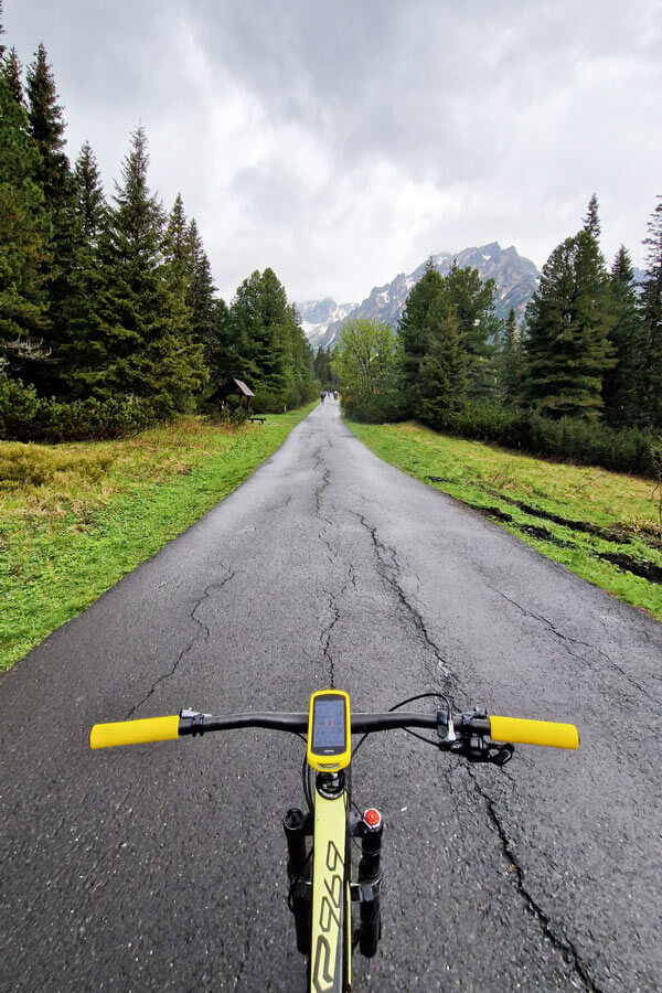
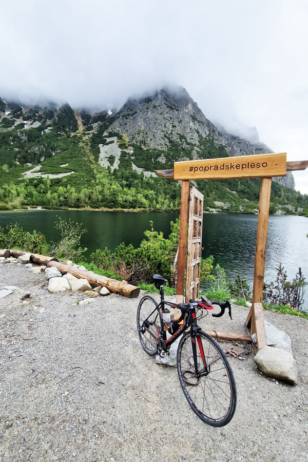
2. Another way to Popradské pleso by bike
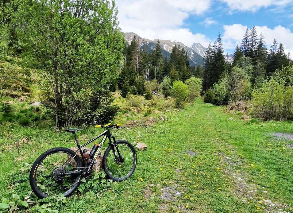
Staying with Popradské pleso, there’s an alternative route suitable for mountain bikes to extend and diversify this relatively short trip. This time, Vyšné Hágy is the starting point. About half a kilometre past the railway tracks, a forest road branches off from Cesta Slobody. Pass the barrier and enjoy a lovely forest section with views of the surrounding peaks. This is the Smrekovec Trail, leading to the Holá Úboč junction, connecting nicely with the asphalt road to Popradské pleso. This route to Popradské pleso is just under 8 kilometres with an altitude difference of around 450 metres. The forest section along the Smrekovec Trail will test your technique and fitness in a few places.
Route length: 16 km Altitude difference: 620 m.
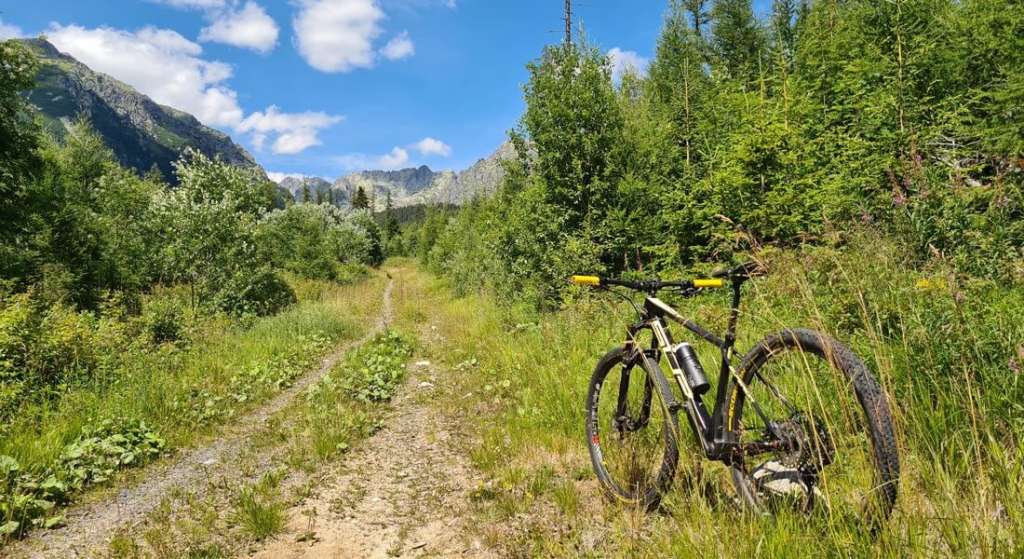
Beautiful cycling routes around Štrbské Pleso: Tichá and Kôprová dolina (valleys)
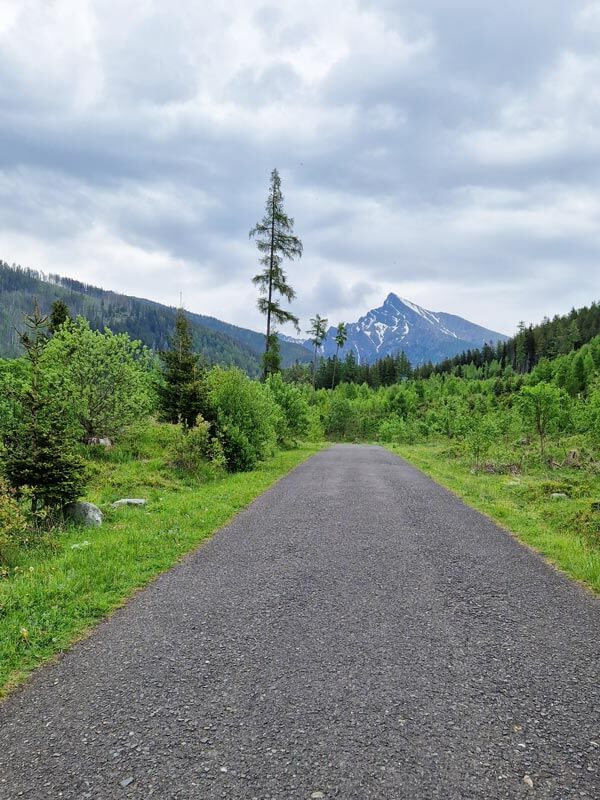
These valleys are a bit further from Štrbské Pleso. First, you need to descend about 15 kilometres to Podbanské. You can choose to split these valleys into two rides or tackle them all in one go. It’s about another 1.5 kilometres to the valley crossroads. Ahead lies a panorama dominated by Mt Kriváň.
3. Tichá dolina
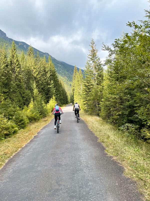
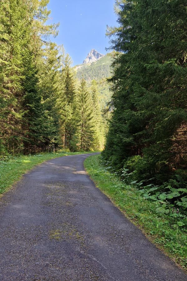
If you opt for Tichá dolina (valley), it’s the longer route. You’ll face just under 10 kilometres with an altitude difference of 300 metres. The incline on the first 4 kilometres is gentle, a sort of a “inclined plane”. The second part is also not very demanding, making it suitable for families with children. In that case, I’d recommend driving to Podbanské by car; kids would enjoy the descent, but probably not the return to Štrbské Pleso. The surface is asphalt but more suitable for gravel bikes due to its old, potholed nature, with more gravel than asphalt in places. There are no huts in the valley, making it a quieter retreat in contrast to the busy Tatras. You will be rewarded for the climb by a stunning panorama of the Western Tatras.
Route length: 54 km Altitude difference: 720 m.
4. Kôprová dolina
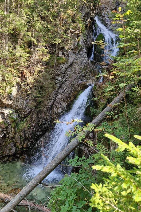
Shorter and more attractive, Kôprová dolina (valley) is 6 kilometres long with just under 200 metres of altitude difference, ending with the beautiful Kmeťov Waterfall. It’s Slovakia’s largest waterfall and worth a visit, just a 3-minute walk away. From 1st June 2024, thanks to the new Tatra National Park regulations, you don’t have to stop at the waterfall but can continue along the gravel road for another 1.5 kilometres with a 100-metre altitude difference. The valley’s surface is similar to Tichá dolina – old asphalt ending about 100 metres before Kmeťov Waterfall. For the extended Kôprová dolina variant, an MTB is recommended, but a gravel bike with wider tyres can handle it.
Route length: 49 km Altitude difference: 720 m (or original variant – 46 km and 620 m altitude difference).
This article has been created in cooperation with MTHIKER.sk.


